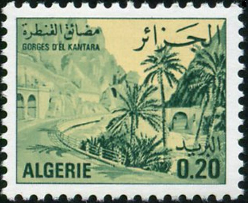
El Kantara Gorges
The oasis of El Kantara, located at the outlet of the famous gorge of the same name at the entrance to the Sahara, was created by a certain number of families, some Arab, others Berber, who came after the second invasion (1048) to settle successively in the country and who are the source of the current population.
This includes, today, three fractions, the Ouled Si Ali Mohamed, the Ouled Bellil and the Ouled Mehamel. Each has its own village in the oasis and is subdivided into sub-fractions of various origins.
The territory of El Kantara is made up of two parts: the first to the north of the mountains, in the middle of which opens the gorge metaphorically called Foum Essahra (mouth of the Sahara) through which the wadi El Kantara escapes and the second to the south of these mountains which are linked to the Saharan region.
In the northern part which falls under Tell, flow the Aknoun wadi and the Guebli wadi whose confluence forms the El Kantara wadi. With its palm forest and its cultivated lands, the Oasis develops on each bank of the El Kantara wadi. Four successive dams are placed on this river: the Grand Sed, Fougania, Rommaïl and El Outania.
From these four dams five seguias leave for the irrigation of the Oasis and the surrounding agricultural lands. Finally, in the western extension of the El Kantara plain, lies the Dhaya valley in which we find a freshwater marsh where the waters of the mountains come together.